
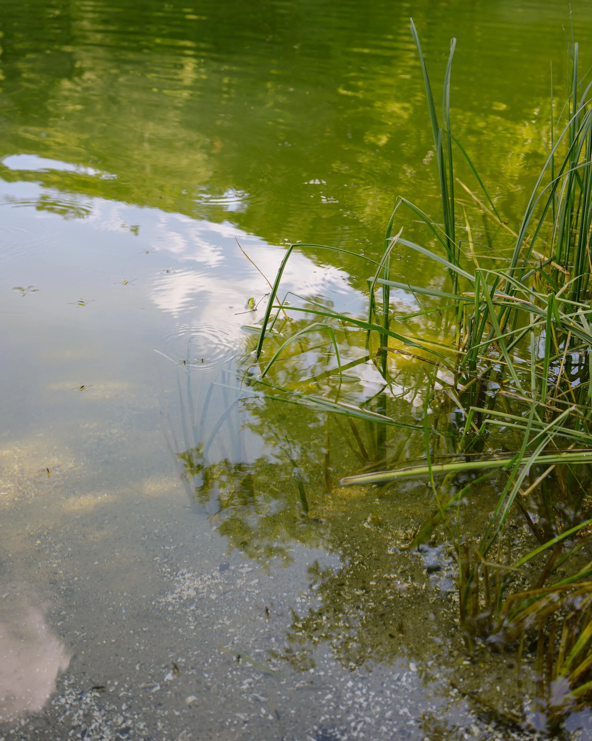
This is a land reading offering to help you better understand your land, make more informed decisions, and avoid wasting money. You will receive guidance on how to improve the water management on your property to support your vision.
Services
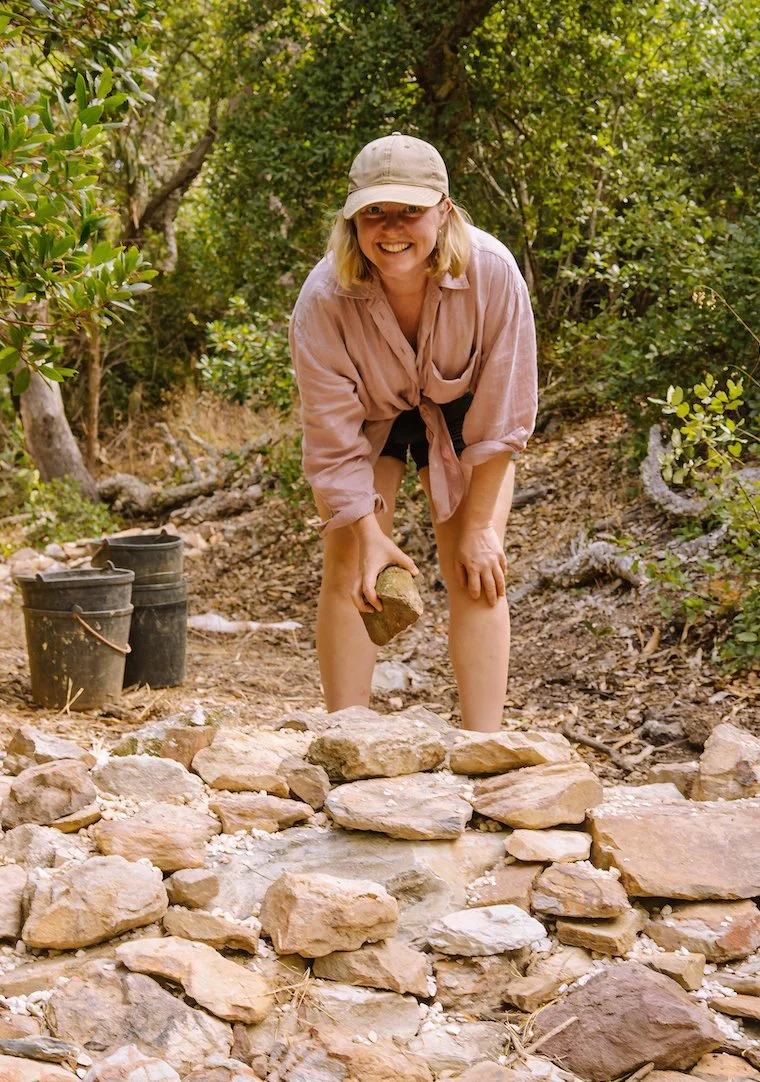
Land Walk
Together, we'll spend 1–3 hours walking your land. As we explore, you can show me areas that concern you, share your future vision, or simply let the landscape tell its story.
Along the way, I'll help you read the patterns of water across your land: where it naturally flows, where it moves too quickly and contributes to erosion, and where opportunities exist to slow, spread, and sink it back into the landscape.
Together, we'll identify practical ways to keep more water where it belongs, increasing resilience, supporting wildlife, improving soil health, and creating a healthier, more abundant landscape that will continue to benefit both people and nature for years to come.
Before our walk, you can choose the package that best fits your needs, whether you're simply looking for fresh insights or would also like detailed maps, a written summery, and practical recommendations to guide your next steps.
And if you decide to bring these ideas to life, I'd be delighted to continue supporting you throughout the implementation process, helping turn the vision for your land into reality.
Land Walk
You are free to record the audio while we walk
80€
Land Walk & written Summary
Land Walk, plus you get a written Summary (1-3 pages) with suggestions, so you don’t need to remember all while we walk
130€
Complete Package
Land Walk + 18 Base Maps of your land + Analysis of your maps and bringing it all together in a written summary.
195€
Land Walk & Base Maps
You get the Base Maps without an Analysis for your own further study. No Summary included.
130€
❋ These prices are valid only through November 2026. These prices are for the area Aljezur/Marmelete. For longer drives than 30 min, there will be an additional fee of 0.5€ per kilometer.Land Walk
A guided walk across your land where we observe water flow, vegetation patterns, and signs of erosion together. You're welcome to record audio so you don't have to remember everything on the spot.
Land Walk + written Summary
Everything from the Land Walk, plus a short written summary (1–2 pages) with my observations and recommendations on better water management in alignment with your goals, so you have something to refer back to, without needing to recall the whole conversation.
Land Walk + Base Maps
Everything from the Land Walk, plus a set of 18 custom terrain maps of your property for your own further study. No written summary included, but the maps themselves are powerful tools for understanding your land and learn more by yourself.
Complete Package
The full picture: Land Walk, a written summary, and custom terrain maps, with an analysis of them, all working together. I'll focus my analysis on whichever maps matter most for your specific land and situation, but you'll receive all 18 maps either way. The others might not be relevant today, but they could become valuable later when you're planning a new project, dealing with a change on your land, or just curious. Combining the written summary with the map analysis gives the clearest, most complete picture of your land and that's what makes it possible to find the best possible solution for you.
What are these Maps
The Base Maps are a set of custom terrain analysis layers generated from elevation data of your property: things like contour lines, slope, relief, erosion risk, and water flow patterns. Each layer highlights a different aspect of your land: where water naturally moves, where it pools, which areas are steepest, and where erosion is most likely to occur over time.
These maps don't just illustrate what we saw on the Land Walk, they confirm it. If we noticed water collecting near your house, the relief or flow map will show you exactly why, based on the actual shape of your land. You'll receive the maps as digital image files ready to keep, study, and share with anyone else involved in your land planning.
-
Contour, Hillshade, Elevation, Aspect, Relief, Polyhedral, Slope, , Land Forms, Morphometry, , Erosion Risk, Flow Velocity, Drainage, TWI (Topographic Wetness Index), Valley Depth, Viewshed, Inundations, Hydro Basins, Pooling, Wind Exposure
You need more information about the maps? Here you find more info>
An additional Soil test is highly recommended
All observations and recommendations from the Land Walk, written summary, and map analysis are based on visual assessment and surface-level indicators, they do not replace a soil test. Soil composition, structure, and depth can significantly affect how water moves and behaves on your land, and confirming this through a soil test is recommended before making major decisions or investments (e.g. earthworks).
I'm happy to offer this as an additional service: using an excavator, I take soil samples from different depths down to 3m, and assess each layer through hand texture testing and jar testing. This gives you a much clearer, confirmed picture of what's actually happening below the surface and helps validate (or refine) the recommendations from your Land Walk.
Here's the deal: you arrange and pay for the excavator with driver, and I'll handle the soil assessment for just 50€.
Why are these prices so low?
After completing extensive training and building a solid theoretical foundation, I'm now in the process of gaining hands-on implementation experience. I already have real experience in land reading and have led many land walks with happy clients, what's newer is the implementation side of the work. These introductory prices reflect that, and they will increase over time.
Implementation Support
A Land Walk is just the starting point, I'm also happy to support you through the implementation itself. This includes on-site guidance during the actual work, making sure what gets built on the ground matches what was planned on paper.
-
A Land Reading is the foundation of every successful intervention. Through careful observation and site analysis, I read the landscape’s natural patterns: water flow, soil, vegetation, and topography. This process reveals where water wants to move, stay, or infiltrate, and what the land truly needs to regain balance and resilience.
-
Water Retention Landscapes are designed to slow, spread, and store water within the land. Based on the insights from the land reading, tailored measures such as ponds, terraces, or contour-based earthworks are implemented to restore the water cycle, increase soil vitality, and strengthen ecosystems over the long term.
-
Preventing water damage starts with understanding how water moves through the landscape. By guiding, slowing, and retaining water at the right locations, destructive runoff, flooding, and infrastructure damage can be significantly reduced, while turning excess water into a valuable resource.
-
Wetland restoration reconnects land and water systems. By reactivating natural floodplains and wet areas, wetlands can once again filter water, store carbon, support wildlife, and buffer extreme weather events such as droughts and floods.
-
Erosion prevention works by stabilizing soils and restoring natural flow patterns. Through contour-based design, vegetation, and targeted earthworks, soil loss is minimized, slopes are strengthened, and the land regains its capacity to hold water and nutrients.
-
Wildlife ponds are designed to support biodiversity and natural water balance. Shallow zones, varied edges, and seasonal dynamics create vital habitats for amphibians, insects, birds, and plants, while enhancing water retention within the landscape.
-
Infiltration basins are designed to capture surface water and allow it to slowly soak into the soil. By recharging groundwater and reducing runoff, they help stabilize the local water cycle, support vegetation, and lower the risk of flooding and erosion, all guided by the natural conditions of the land.
-
Rain gardens are planted depressions that capture and infiltrate rainwater close to where it falls. By slowing runoff and filtering water naturally through soil and vegetation, they reduce flooding risks, support groundwater recharge, and create valuable and beautiful habitats, seamlessly integrating water management into the landscape.
-
Terraces are designed to slow water, stabilize slopes, and build fertile soil over time. By working along contour lines, they reduce erosion, increase infiltration, and create resilient growing spaces, always shaped by the natural structure and needs of the land.
Intake Form
When you feel ready, please fill out the following form to ensure clarity for both you and me so that we can discuss any issues and requests directly on site.
If you need more information, feel free to reach out before.